Library Item Details
Main Title
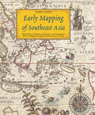
Early mapping of Southeast Asia
Author(s)
Suárez, Thomas.
Publisher
Hong Kong : Periplus Editions, c1999
Collation
280 p. : ill. (some col.), maps
32 cm.
32 cm.
ISBN
9789625934709
Dewey Class
912.59
Contents
Part I. Southeast Asia. 1. The Land and Peoples of Southeast Asia -- 2. Southeast Asian Maps and Geographic Thought -- 3. Asian Maps of Southeast Asia --
Part II. The Early Mediterranean and European Record. 4. Asia and Classical Europe -- 5. Medieval Europe -- 6. European Pioneers --
Part III. The View from the Deck: Early European Maps. 7. Europe's Quest for a Sea Route to the Indies -- 8. A Confusion of Peninsulas and Dragon Tails -- 9. Printed Maps Through 1538 -- 10. First Maps from the Spanish Voyages 1525-1540 -- 11. Giacomo Gastaldi's Three Models 1548-1565 -- 12. Tangling with Terra Australis and Snared by the Linea -- 13. 1570 - ca. 1600: Diversity in a Transition to Standardization --
Part IV. Companies and Colonization. 14. The Advent of the East India Companies -- 15. The Eighteenth and Early Nineteenth Centuries -- 16. The Nineteenth Century and the Mapping of the Interior.
Language
English
Subject
Southeast Asia -- Maps -- History.
Cartography -- Southeast Asia -- History.
Cartography -- Southeast Asia -- History.
BRN
4230
Availability
| Location | Collection | Call No. | Status |
|---|---|---|---|
|
Rotunda Library & Archive
|
Books
|
912.59 SUA
|
Available
|


